The Idea and the Challenge
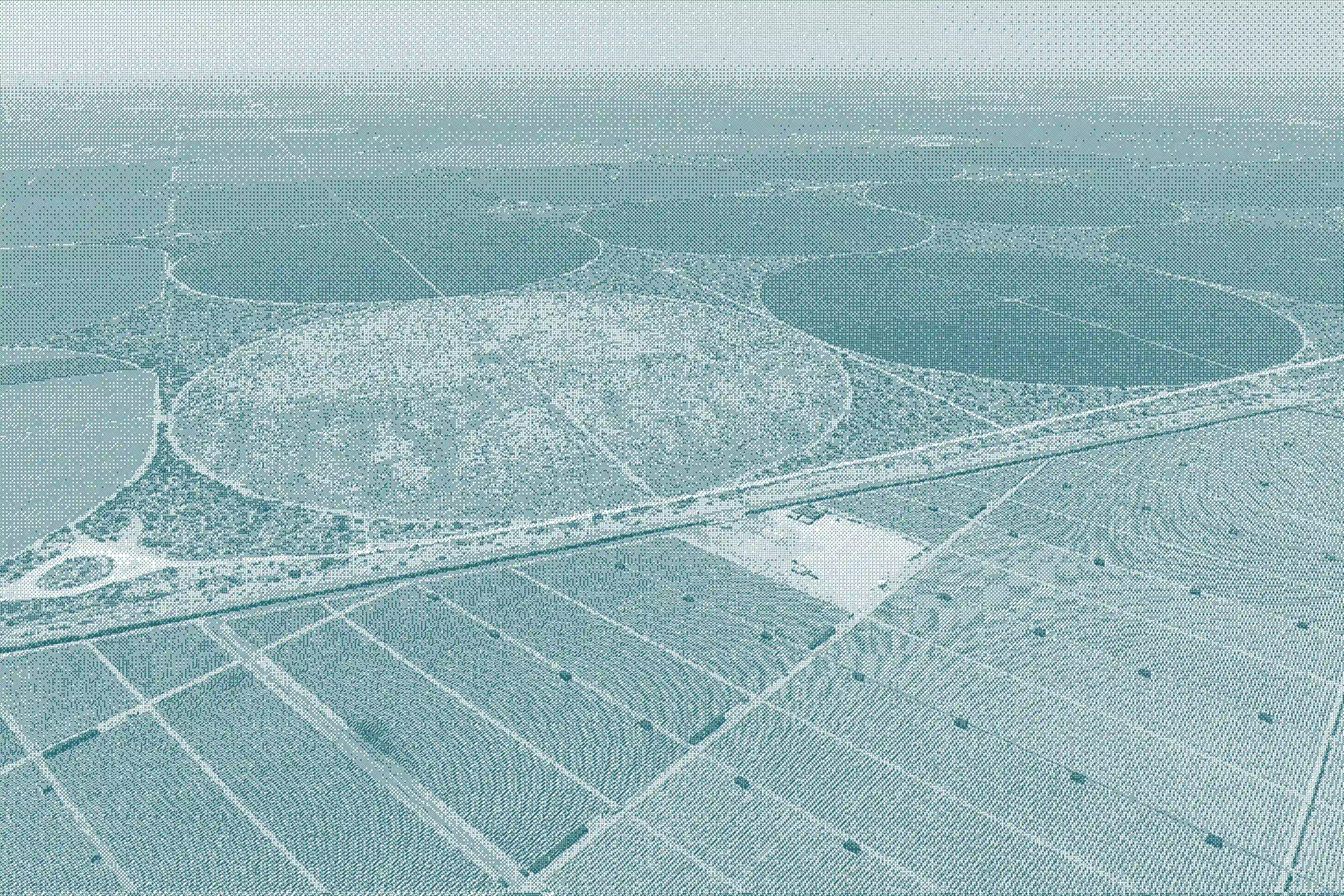
Agriculture plays a vital and important role in Pakistan's economy. It secures food and the livelihood of millions of people. Yet crop production remains vulnerable to the volatile environmental conditions of Pakistan; things like extreme weather, fluctuation in markets, a lack of national planning and limited technology make decisions about what to grow, where to grow it, and how much.
It was against this that I began to explore a data driven approach to national crop production planning. My research presents a decision-support framework for national crop planning that merges field-level historical, environmental, and socioeconomic data with satellite mosaics and geospatial analysis for crop allocation to support more informed decisions.
The objective was not to simply collect the data but to thoroughly understand how different sources of information could be brought together to provide a clearer picture of the agricultural conditions and potential crop yields at specific locations. An approach like this could drastically improve food security, market stability, farmer income, and more efficient use of resources by policymarkers, extension services and farmers.
However, there were also challenges; the data itself was often incomplete, difficult to obtain, or lacking consistency. Finding field-level historical records and continuous satellite imagery, correcting cloud, sensor issues, integrating aerial photos from drones, fixing inconsistent formats, missing data, and scarce ground truth further made the process more complicated of bringing information together.
To overcome these I developed a robust pre-processing pipeline for each sub-problem that led to a harmonization of datasets addressing the gaps and transforming fragmented information into more reliable inputs.
The Turning Point
Research of this scale required further expertise across different areas. To facilitate the research and publications I collaborated with Dr Shoab Ahmed Khan and the team at the Center.
The Center brought together expertise across multiple domains, they provided not only technical knowledge but also the skills necessary for managing logistics for a project of this scale. The collaborations and data sharing opportunities with other key institutions helped streamline the process overall and made it possible to work with information that would have been difficult to access and integrate otherwise.
The Center supported the development of several mini modules that addressed specific challenges within my research. One of these focused on the mosaicking of aerial imagery. The legacy drone system I worked with would produce unstable feeds; to make this footage useful for analysis a small team was hired to develop a mosaicking module and pre-processing pipeline.
The system was developed to separate the feeds, stabilize and enhance each feed and then fuse them together to create a super mosaic which would provide a better view of the fields and help identify issues. This was an important part of my research because aerial imagery offered a detailed perspective of the agricultural fields.
Collaboration and Environment
Beyond the technical resources the Center's research environment was equally important for my experience. Working with experienced teams provided opportunities for sharing knowledge and skills. The collaborative and supportive environment made my experience more enjoyable, safe and rewarding while allowing me to grow professionally and academically.
The Breakthrough - The Outcome and Publication
The research had three major modules each addressing a different stage of the crop planning process.
The first was a pre-processing engine for aerial videos that had multiple feeds from legacy aerial platforms without a stabilization mechanism. The system would take these videos, separate the feed, stabilize and enhance each feed, and generate mosaics for every individual feed with different viewing angles. These individual mosaics are then combined to create a super mosaic at the end.
The second module is the development of a machine learning prediction model that takes historical data including environmental as well as non environmental factors, and satellite imagery derived indices to predict crop yield at a specific location.
The third module is the development of a decision support framework that takes historical data from multiple channels rather than relying on a single source of information. These included the predicted crop yields, information from individual farmers and from organizations like the ministry of agriculture and its associated sub organizations.
Together these components had created a pathway from observation to prediction and then finally decision making.
This work resulted in two impact factor publications.
The Lasting Impact - Looking Forward
For me, this project became more than just technical expertise; it was an opportunity to further develop my abilities.
I mastered new tools of GIS and the agricultural landscape that was beyond my field otherwise. This helped me to become an out-of-box problem solver, enabling me to work on various practical domains of life. I improved stakeholder engagement, data acquisition, project management, team leadership, scientific writing, and time-management while balancing family responsibilities. These skills prepared me for research, policy advisory, or industry roles focused on data-driven solutions.
My time at The Center was foundational for this journey it deepened my passion for applying remote sensing and machine learning to agriculture while equipping me with the tools and confidence to scale resilient, evidence-based systems nationwide.
What began as a challenge in bringing agricultural information together, became a broader exploration of how data, technology and research can support better decisions for Pakistan's agricultural future.
Editor
Saniya Amir
Tags
Agriculture, Crop Planning, Remote Sensing, Machine Learning, GIS, Decision-Support Systems
Sources
-
Nida RASHEED, Waqar S. QURESHI, Shoab A. KHAN, Manshoor A. NAQVI, Eisa ALANAZI, AirMatch: An Automated Mosaicing System with Video Preprocessing Engine for Multiple Aerial Feeds, IEICE Transactions on Information and Systems, 2021, Volume E104.D, Issue 4, Pages 490-499, Released on J-STAGE April 01, 2021, Online ISSN 1745-1361, Print ISSN 0916-8532, https://doi.org/10.1587/transinf.2020EDK0003
-
N. Rasheed, S. A. Khan, A. Hassan and S. Safdar, "A Decision Support Framework for National Crop Production Planning," in IEEE Access, vol. 9, pp. 133402-133415, 2021, doi: 10.1109/ACCESS.2021.3115801.